Your Eyes In The Sky
Parts On-Demand
We know that down-time is expensive when you're trying to get the job done. Our online store makes sure you can get the parts you need fast. See our related products below or search here for the part you're looking for. If you have a question about one of our systems reach out to us!
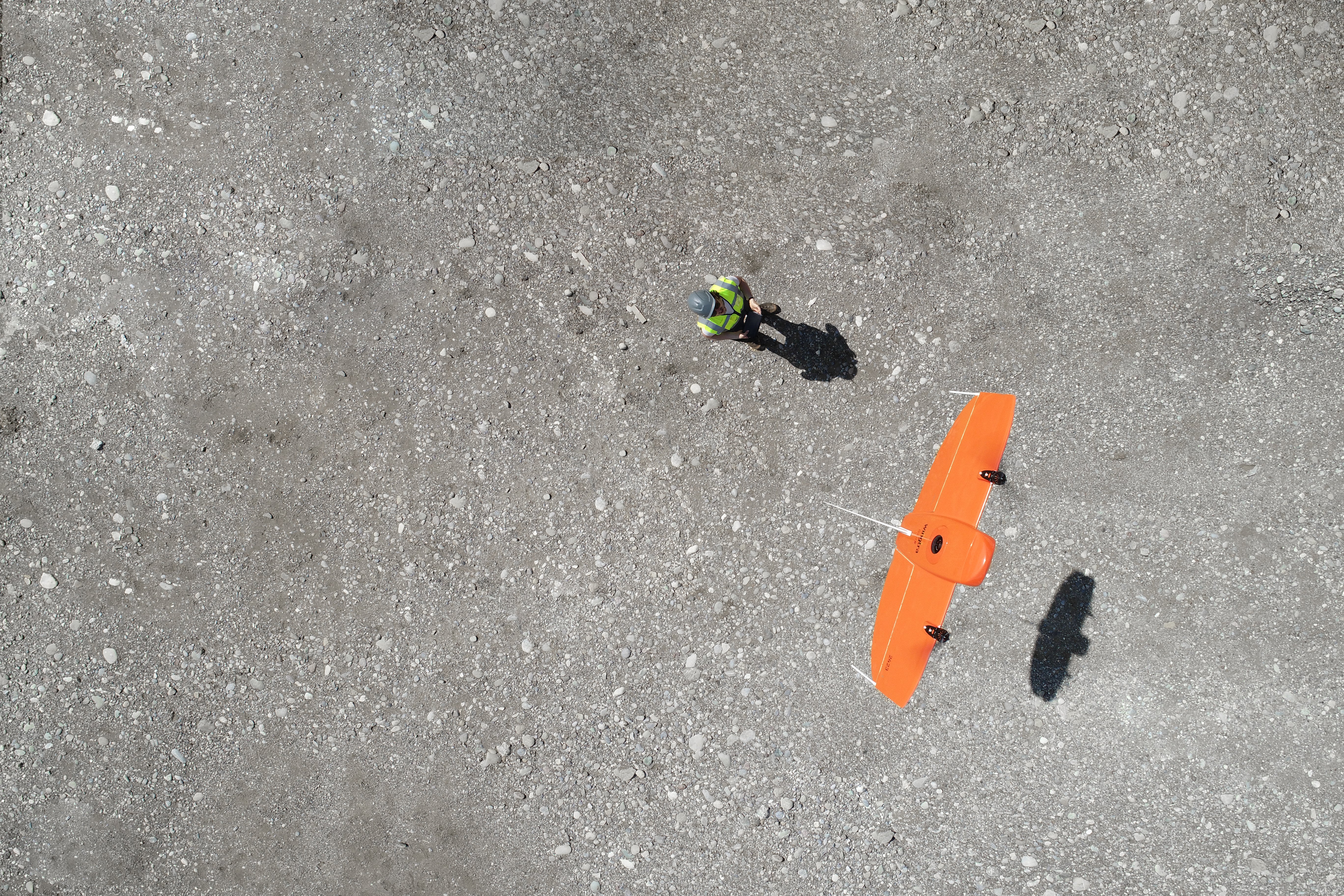
Contact SalesUAVs equipped with survey-grade cameras or LiDAR sensors can capture high-resolution aerial imagery or 3D point cloud data for mapping, surveying, and terrain modeling.
UAVs can cover large areas quickly, enabling efficient data collection for various applications, including land surveying, infrastructure inspection, and volumetric analysis.
The use of UAVs eliminates the need for manual inspection and surveying in hazardous or hard-to-reach areas, reducing risks to personnel.
UAVs equipped with video cameras or thermal imaging sensors can be used for remote monitoring and inspection of construction sites, buildings, or infrastructure.


