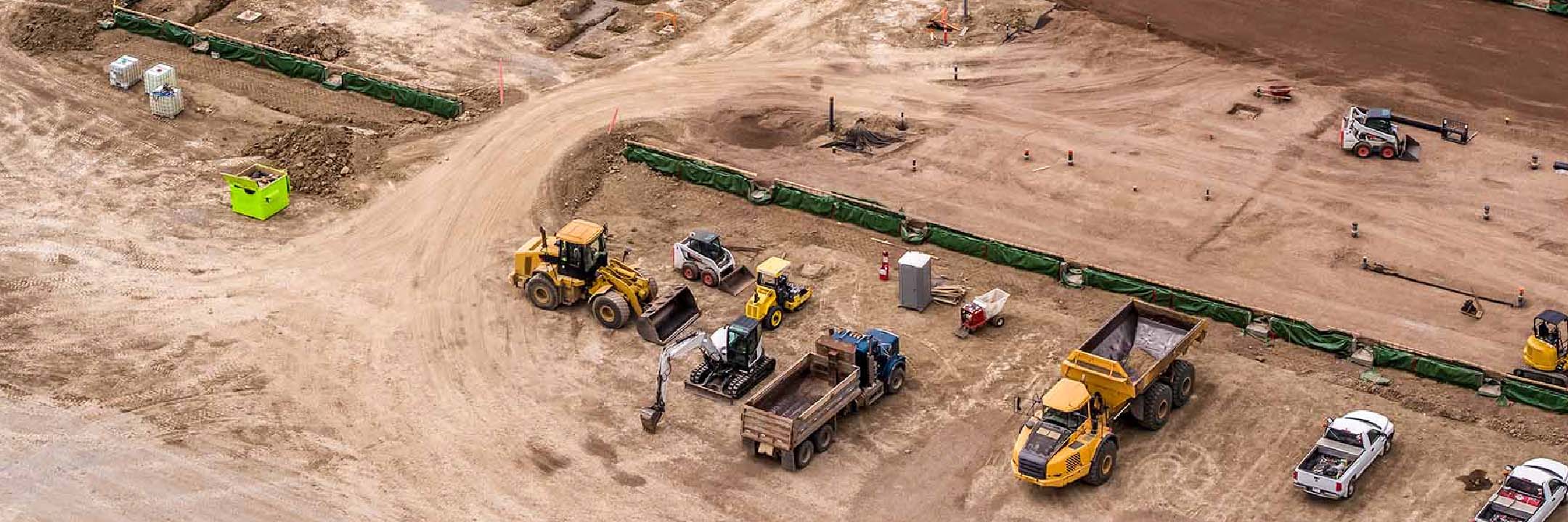
Optical Surveying
Get The Accuracy You Need
Parts On-Demand
We know that down-time is expensive when you're trying to get the job done. Our online store makes sure you can get the parts you need fast. See our related products below or search here for the part you're looking for. If you have a question about one of our systems reach out to us!
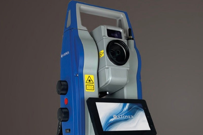
Contact SalesOptical surveying instruments, such as total stations, provide high-precision measurements for various surveying and construction tasks.
Optical surveying systems allow accurate angle and distance measurements, facilitating precise positioning and layout tasks.
Optical surveying instruments often include data collection capabilities, enabling efficient data recording for fieldwork documentation and analysis.
Optical surveying systems can be integrated with CAD and GIS software, allowing for seamless data transfer and integration into design and mapping workflows.
Filters
53 products


