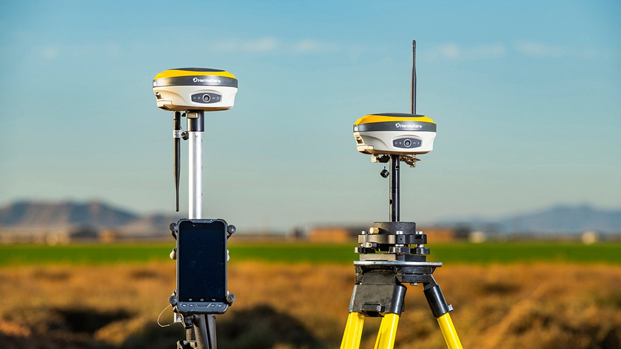
Streamline Your Site Management with GNSS
Parts On-Demand
We know that down-time is expensive when you're trying to get the job done. Our online store makes sure you can get the parts you need fast. See our related products below or search here for the part you're looking for. If you have a question about one of our systems reach out to us!
Contact SalesGNSS surveying systems provide highly accurate positioning and measurements, enabling precise surveying, mapping, and geospatial data collection.
These systems streamline surveying operations by reducing setup time, improving workflow efficiency, and enabling faster data acquisition.
GNSS surveying systems can be used in various applications, including topographic surveys, construction layout, cadastral mapping, and infrastructure monitoring.
GNSS systems provide real-time positioning data, allowing surveyors to make on-the-fly adjustments and decisions during fieldwork.


